

PT Intai Aero Perkasa
Summary
PT Intai Aero Perkasa began as a local Indonesian start-up in IT and surveillance. Since 2015, INTAI has been a technology partner of BPPT (now part of BRIN) on research and development for the Defense Industry, and since 2019 has participated directly in Government of Indonesia IT Defense projects. As a systems integrator, INTAI combines UAV and cloud technology with GIS capabilities to deliver complete surveillance and mapping solutions — certified airworthy by Indonesia's military aviation authority.
Its flagship platform, the Alap-Alap UAS, is a twin-boom UAV with an inverted V-tail design, purpose-built for tropical operating conditions — see full specifications below.
Type
High Wing – Twin Boom, Inverted V-Tail
MTOW
31 kg
Wing Span
3 m
Payload
1.22 kg
Engine
3–5 HP with alternator
Cruising Speed
44–72 knots
Endurance
6 hours
Flight Range
105 km (radius)
Altitude Ceiling
12,000 ft
System Elements
Service 01
UAV (PUNA)
The unmanned aerial vehicle itself — the core of the overall system.
Service 02
Ground Control Station
Ground station for operating and monitoring the UAV's flight in real time.
Service 03
Data Link Systems
Connects the UAV with the Ground Control Station for two-way data communication.
Service 04
Parachute System
Landing recovery system supporting operations in confined areas.
Service 05
Electro Optic Payloads
Camera payload for surveillance, detection, and visual data collection.
Application Sectors
Military Operation
Emergency Response
Urban Development
Agriculture, Forestry & Fisheries
Transportation Network
Law Enforcement
Energy Sector
 Finished
2018
Anak Krakatau & Sunda Strait Islands Mapping
Mapping mission covering Anak Krakatau, Panjang Island, and Sertung Island, based out of Cilegon.
INTAI
Selat Sunda / Cilegon
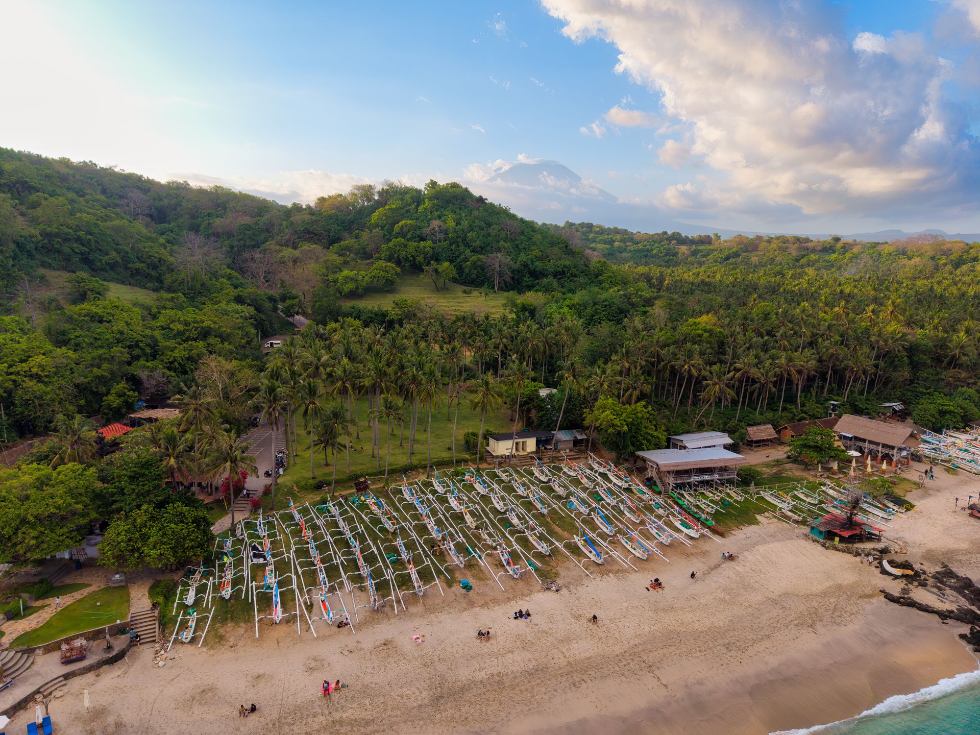
Aerial mapping mission covering Anak Krakatau, Panjang Island (including its buoy), and Sertung Island, operating out of the Indah Kiat Port Dock in Cilegon.
 Finished
2018
Tanjung Lesung Coastline Mapping
Coastline mapping to support geospatial data on the coastal area.
INTAI
Tanjung Lesung
Aerial mapping of the Tanjung Lesung coastline, carried out in December 2018.
 Finished
2018
Lombok Disaster-Affected Area Mapping
Mapping of earthquake-affected areas in partnership with BNPB.
BNPB
Lombok, Nusa Tenggara Barat
Mapping of disaster-affected areas in West Nusa Tenggara (Lombok) in partnership with BNPB on 15–19 August 2018. Areas mapped included Gili Trawangan (497 photos, 350 ha, in 30 minutes) and Kota Mataram (5,040 photos, 4,600 ha, in 2 hr 50 min).
 Finished
2018
Surveillance Mission, Mount Halimun
Demo surveillance mission over an illegal-mining area (PETI), based out of Lanud Rumpin.
INTAI
Gunung Halimun
Demo surveillance mission over an illegal-mining (PETI) area at Mount Halimun, based out of Lanud Rumpin with a 40 km transit distance and 7,000 ft operating altitude (mountain height 5,500 ft), conducted on 20 March 2018.
 Finished
2017
Catapult & Net Landing Flight Test Campaign
Flight test campaign covering catapult takeoff and net landing recovery.
INTAI
Tanjung Lesung
Flight testing of catapult-assisted takeoff and net-based landing recovery, conducted at Tanjung Lesung on 11–13 December 2017.
 Finished
2017
Jakarta–Surabaya High-Speed Rail Corridor Mapping
Mapping of the Cirebon–Brebes segment to support high-speed rail corridor planning.
Pemerintah Indonesia
Cirebon–Brebes
Aerial mapping of the Cirebon–Brebes segment of the planned Jakarta–Surabaya high-speed rail corridor, carried out on 15–16 July 2017.
 Finished
2017
Mount Halimun Mapping Mission Test
Mapping mission test in partnership with the Ministry of Environment and Forestry.
Kementerian Lingkungan Hidup dan Kehutanan
Gunung Halimun
Mapping mission test in the Mount Halimun area, carried out in partnership with the Ministry of Environment and Forestry on 19–20 August 2017.
Our Certifications
Certificate of Military Airworthiness
Military Aviation Authority
Loading preview…
Unmanned Aircraft System (UAS) Type Certificate
PUNA
Loading preview…